Residents: Sign-up for exclusive content
Sign in
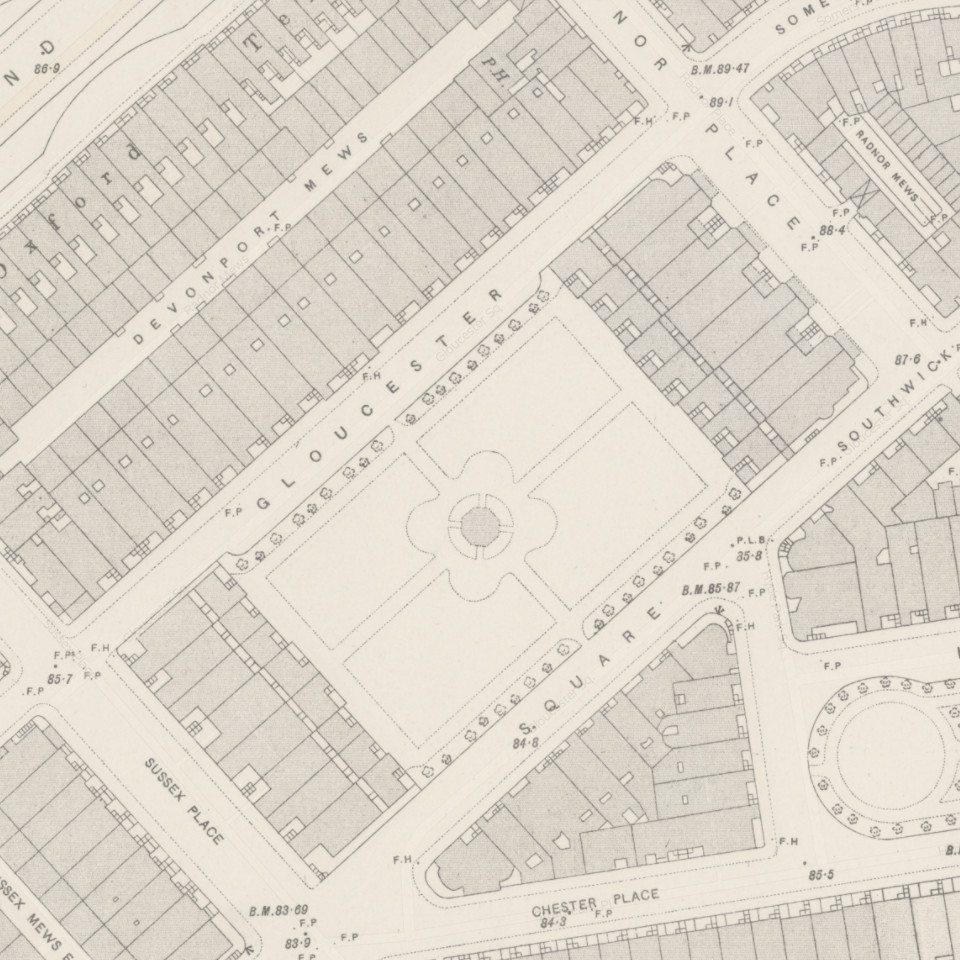
The following interactive map shows the original 48 houses of Gloucester Square. Clicking on a House in the map will bring up further details on the property. Please note that House Numbers 40-46 became 43-49 in the late 1960s, after 38 and 39 Gloucester Square were replaced by 5 new townhouses. Meanwhile what was 47-48 Gloucester Square (pre 1960s) was rebuilt in the 1980s as 50 Gloucester Square.
Select a Property on the Map for Further Details

Is based on 1893-96 Ordinance Survey Map, circa 50 years after Gloucester Square was built. We used this map as it is far cleaner than earlier maps (such as 1869). We know from broader records that all original houses were still standing as of this date, though the shape/layout of the Garden might have changed.
In this context is the Developer, who had purchased the plot of land under a development contract. There records are based on the Surveyor Affidavits, that were granted to the developer once the shell of the house (i.e. External Walls and Roof) were complete. After the Affidavit was granted the developer could sell the house in its shell form, as was common at the time, with the incoming buyer then embarking on the internal fit-out.
We have affdavits for most properties, with the exception of 31-39 Gloucester Square. We know from the development contracts that the plots for 1-39 Gloucester Square (i.e. 3 sides of the square) were aquired by William Norsworthy, though he died in 1843 and his executors entrusted brothers George Wyatt and Sir Matthew Wyatt to complete the remaining houses. It is considered likely that 31-39 Gloucester Square were completed prior to Norsworthy’s death.
Per above, this date is when the shell of the house – the external walls and roof were complete, allowing the property to be certified and sold. However it would be several further years before many of the homes were occupied.
Describes whether the original building is still standing, and if not, when it was demolished.
Describes the name of the building now sitting on that plot. In the case of merged buildings, the Freehold reference of the building is provided even when there are multiple street addresses.
The Architect responsible for converting or replacing the building, where this information is known.
This is based on Boyle’s Court and Country guides, and Webster’s Royal Red Books. The links to the referenced guides, or details on where the guides were sourced from, are provided by the book icon next to each reference.
For those interested, there is a Jounral by P.J.Atkins of Durham University that reviews the accuracy and reliability of these London Directories available via Scribd – you can get two months free membership to Scribd via this link.
In summary, that Journal confirms that for more prestigous neighbourhoods (as Gloucester Square was at the time), the guides tended to be mostly accurate / aligned to multiple sources.
Sign up to receive latest news and events directly to your inbox.
© 2022 Gloucester Square, supported by 48-49, 47, 44-46, 26-28, 13-14 Gloucester Square and 21 Hyde Park Square