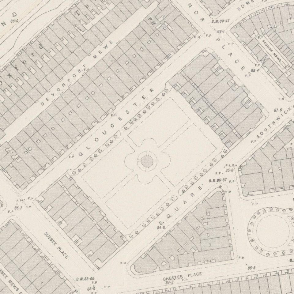
Through the course of researching the History of Gloucester Square we have uncovered many details about the original 48 houses. In attempt to display this data succinctly we have created an Interactive Map of the Square, per its 19th Century layout. If you click on a given property you will find out information, including:
- The Builder (also known as an “Architect” at the time) and Initial Residents of the Property
- The fate of the building – i.e. whether it was demolished or converted into flats
- The corresponding numbering of the building that sits on that plot today
The sources include the original Surveyor affidavits from the London Metropolitan Archives, and numerous copies of Boyles City Companion to the Court Guides (the links, where available, are provided by the icons next to the detail). It should be noted the Boyles Guide, whilst considered the most accurate directory from the time, is not an assured or cross vetted document. If you wish to conduct more research regarding your specific property, and the people alleged to have lived there, we recommend checking out our dedicated page on research guidance.
We will continue to add-to and develop the map here, so be sure to check-back from time to time at its permanent page, located under the “Resources” section of the Main Menu.
Gloucester Square Map
Select a Property on the Map for Further Details


